Thomas Range · west of Delta
Topaz Mountain
The crystals get the photos. The ownership layer keeps you out of trouble.
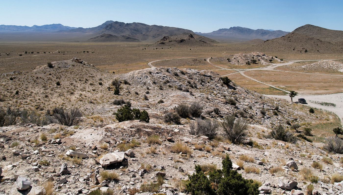
People have been walking the public talus in the Thomas Range for decades. The mountain is famous enough that a weekend crowd can make it feel like a state park. It isn’t. The main collecting ground is usually BLM — and the next section over can be something else with no fence to warn you.
Status in one line
Treat the main public collecting area as BLM unless your ownership layer says otherwise. Nearby checkerboard can still be SITLA or private. Confirm the acre you park on, not the name on the blog post.
Collecting frame (typical casual use)
- Personal use, not for sale
- Hand tools — no heavy equipment
- Stay inside the usual BLM weight story: 25 lb/day + one piece, 250 lb/year — unless a local posting is tighter
- Fillmore Field Office / West Desert District is the place to confirm current rules
What this site will not publish
Turn-by-turn to a “fresh pocket,” claim-jumping notes, or a list of unpublished washes. Buy a current guide or walk the public talus like everyone else. The business here is keeping you on the right color of the ownership map.
Before you go
- Ownership layer on the exact parking spot and the slope you plan to work.
- Water, heat, and a spare tire. This is west desert, not a state park loop.
- Read the BLM limits page on this site. The cap still applies when the crystals are pretty.
Informational only. Area boundaries and local rules change. Confirm with the BLM Fillmore Field Office before you dig.