Outdoor gear
Offline maps for the west desert
Disclosure: As an Amazon Associate we earn from qualifying purchases. Links go to Amazon. Same price to you.
Google Maps on LTE is not a land-status plan. Coverage drops west of Delta, on the Dugway side, and in a lot of canyon country. Download maps at home.
What to download before pavement ends
- A topo / satellite base you can still pinch-zoom offline
- Land ownership if your app supports offline overlays
- Your own dropped pin for the truck, not just the wash
Paper or a printed ownership screenshot in the glove box is still the backup when the phone cooks on the dash.
Apps vs official layers
Recreation apps are convenient and sometimes wrong about SITLA vs BLM. Use them for roads. Confirm collecting with the official Utah ownership layer when you have signal — then screenshot that parcel. See how to read a Utah land ownership map.
One hardware pick
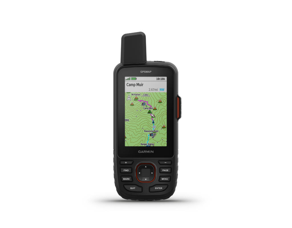
If the phone is the only map, a cheap dashboard bake is how people walk the wrong section. A dedicated handheld GPS that already has topo is the backup that still works at 15% phone battery.
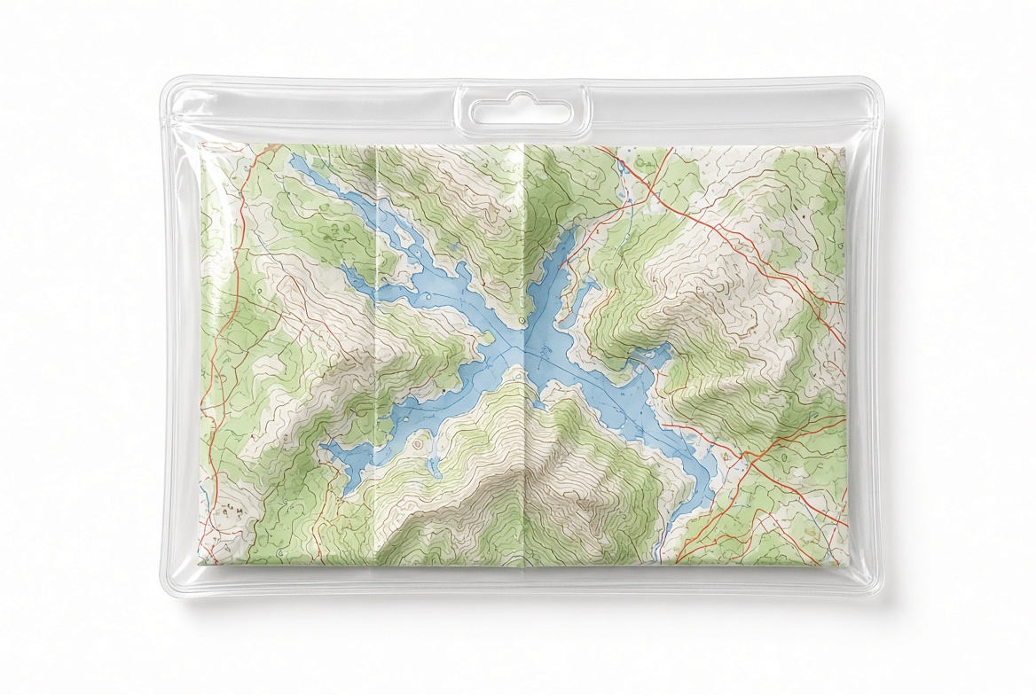
Need less money than that: a current printed 1:100,000 BLM / USGS sheet in a map case beats a dead phone.
← Home · Land maps · Gear · Disclosure