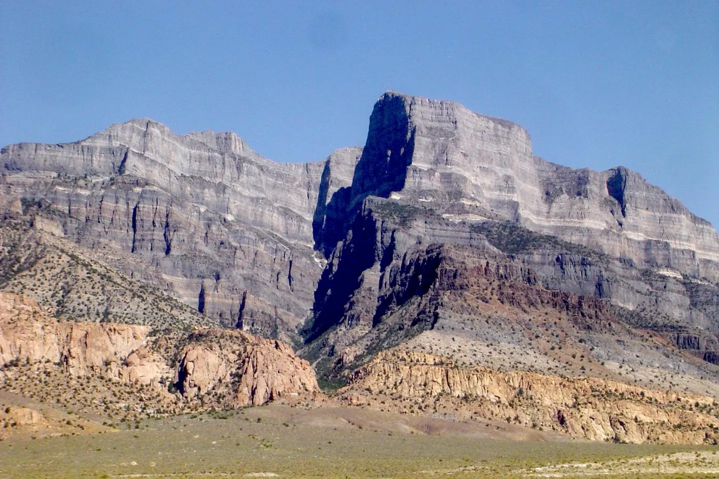
The federal basics travel with you: BLM casual use, hand tools, no selling the take, and mining claims on the same map. State trust lands, state parks and field offices do not. Each state hub covers its own land types, agencies and named sites.
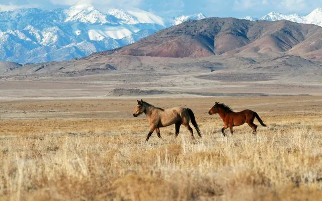
BLM, SITLA trust land, state and national parks, Grand Staircase–Escalante and Bears Ears, and the named west-desert beds. Start here · 2026 monument changes · free cheat sheet
Photo: Lionel Powell, BLM Utah, public domain, via Wikimedia Commons
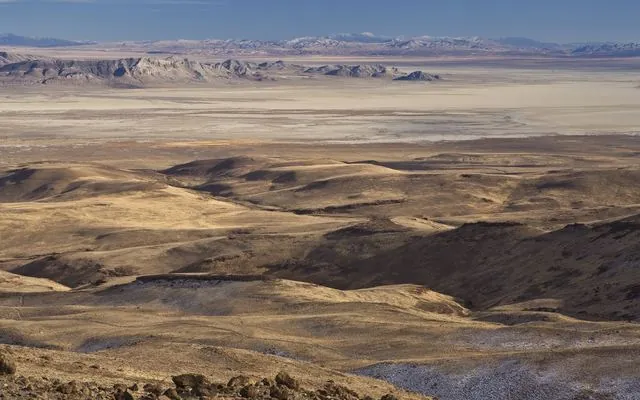
BLM, state lands, parks, refuges, monuments and claims. Why there’s no SITLA · Virgin Valley opal · Garnet Hill
Photo: BLM Nevada, public domain, via Wikimedia Commons
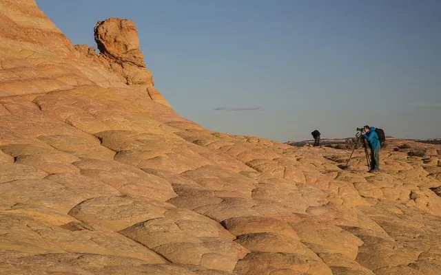
BLM's written 25/250 rule, State Trust Land (no collecting), Petrified Forest, BLM monuments, refuges and military ranges. State Trust Land · Petrified wood · Arizona BLM
Photo: BLM Arizona, public domain, via Wikimedia Commons
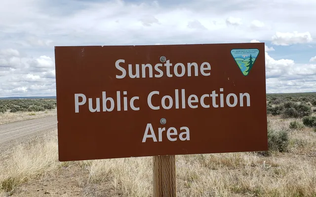
BLM's “reasonable day,” the O&C checkerboard, the one-gallon beach agate rule, Crater Lake and John Day Fossil Beds, and Hart Mountain's 7 lb refuge rule. Sunstone · Beach agates · Oregon BLM
Photo: Lisa McNee, BLM Oregon & Washington, CC BY 2.0, via Wikimedia Commons
Coming next
Idaho and Wyoming hubs are on the way. Until then: Colorado BLM basics.