Oregon · state hub
Oregon rockhounding: who owns the ground
Oregon has two rockhounding worlds. East of the Cascades, the BLM manages about 15.8 million acres of high desert where hand collecting for yourself is the default. West of them, the BLM's O&C lands “lie in a checkerboard pattern through eighteen counties of western Oregon,” and the coast is a public ocean shore with its own written gallon limits. In between are national forests, Crater Lake and John Day Fossil Beds, refuges, tribal lands and a lot of private ground.
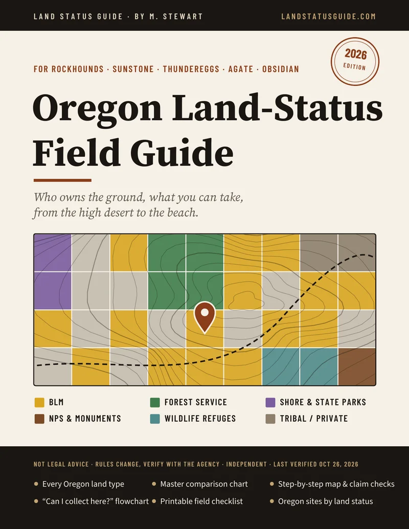
Oregon land types at a glance
- BLM public land — yes, a “reasonable day.” BLM Oregon/Washington's rock collecting guide says a reasonable daily amount “fits into the trunk of a car,” “weighs less than 250 lbs” and is for non-commercial use, with no fee or permit. Petrified wood: 25 lb plus one piece a day, 250 lb a year. Not on active claims, campgrounds or cultural sites. Oregon BLM rules
- Ocean shore — yes, one gallon. OAR 736-021-0090: agates and other non-living items loose on the ground, one one-gallon container per person per day, three gallons per calendar year, each person in their own container. No digging without OPRD's written permission. Beach agate rules
- Oregon State Parks — small amounts. OAR 736-010-0055 allows “a small quantity of agates and other rocks, driftwood, or similar non-living items” for personal use unless a park restricts it. Succor Creek State Natural Area: 1 gallon a day, 3 a year. State parks
- Other state land — ask. The Department of State Lands says stones and petrified wood “up to a certain value” may be collected for personal use and asks you to contact them first. No official rockhounding rule was found for state forests or wildlife areas; call before you collect.
- National forests — small amounts, ask before digging. Forest Service guidance: “generally, a reasonable amount is up to 10 pounds,” surface collecting for personal use needs no permit. The Ochoco calls Crook County “the rockhound capital of the world.” Newberry National Volcanic Monument is closed to collecting.
- National parks and NPS monuments — no. Crater Lake, John Day Fossil Beds and Oregon Caves (36 CFR 2.1). Parks, monuments and refuges
- Wildlife refuges — mostly no. Hart Mountain allows surface collection of up to 7 lb of rock per person per day, no tools. Malheur prohibits collecting minerals. Refuges
- Tribal and private land — permission only. Tribal land needs the tribe's permission. Private and patented land needs the owner's OK. Artifacts stay where they lie everywhere (ORS 358.920).
Oregon articles
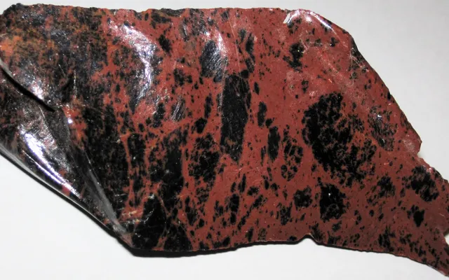
Oregon BLM rockhounding rules
The “reasonable day” in BLM's own words, the O&C checkerboard, claims, WSAs and Glass Buttes.
Photo: James St. John, CC BY 2.0, via Wikimedia Commons

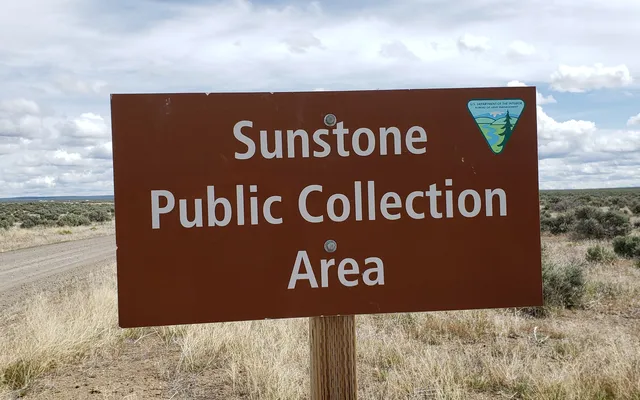
Oregon sunstone: who owns the ground
The free BLM public collection area, the claims around it, and the BLM directions from Plush.
Photo: Lisa McNee, BLM Oregon & Washington, CC BY 2.0, via Wikimedia Commons

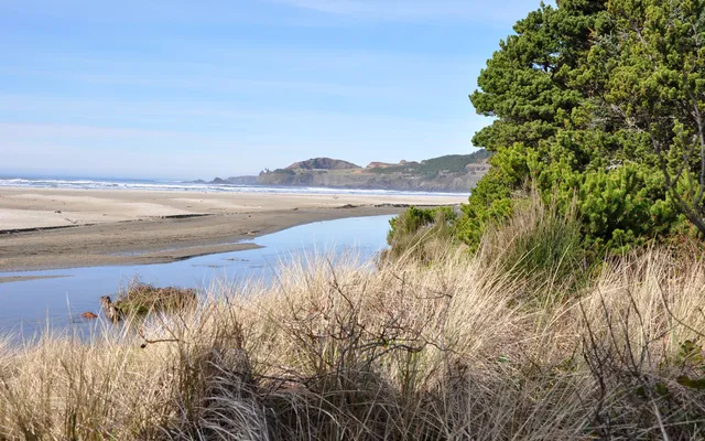
Oregon beach agate rules
The one-gallon container rule, digging, state parks, Succor Creek and the 2026 parking permit.
Photo: Finetooth, CC BY-SA 3.0, via Wikimedia Commons

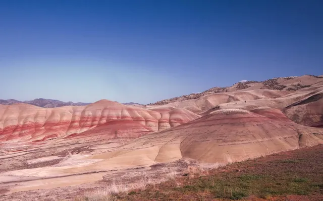
Oregon parks, monuments, refuges
John Day Fossil Beds, Crater Lake, Newberry, Hart Mountain's 7 lb rule and Malheur.
Photo: Quirkipedia, CC0, via Wikimedia Commons

Places the agencies themselves list
- Oregon Sunstone Public Collection Area (BLM Lakeview District), north of Plush: no collecting fee, no trade or commercial collecting. Details
- Glass Buttes obsidian area (BLM Prineville District), off U.S. 20 between Bend and Burns: set aside for recreational obsidian collecting. Details
- Ochoco National Forest and BLM rockhound sites around Prineville and Paulina: agate, thundereggs, jasper, limb casts and petrified wood, personal use only. Which agency runs each site varies; check before you dig.
- Succor Creek State Natural Area (OPRD), south of Nyssa: 1 gallon a day, 3 gallons a year. Details
- Ocean-shore beaches such as Agate Beach at Newport: the gallon rule. Details
- Hart Mountain National Antelope Refuge: 7 lb a day, surface only. Details
Before any Oregon trip
- Click the parcel on an official surface-management layer and write down township, range and section (Willamette Meridian).
- West of the Cascades, check the exact section: O&C land alternates with private timberland.
- Check overlays: wilderness, WSA, ACEC, monument, refuge, campground or other developed site, fire closure.
- Run MLRS for active claims, and look for posts and notices.
- On the coast, read the signs at the access, check the tide table, and bring one container per person.
- Weigh or measure what you take and log it. Hand tools only. Nothing for sale. Leave every artifact.
Rockhound Kids: a 23-page printable coloring pack for ages 4–10, with obsidian, sunstone, geodes and desert critters of the West. $4.99.
Sources: BLM Oregon/Washington (Rock Collecting on Public Lands in Oregon and Washington, 2024; BLM Facts 2023; Sunstone Collection Area; O&C Lands), 43 CFR 8365.1-5, 43 CFR 3622.4, OAR 736-021-0090, OAR 736-010-0055, ORS 390.725, ORS 358.920, Oregon Department of State Lands, USDA Forest Service (Collecting on National Forest Service Lands; Ochoco NF), 36 CFR 2.1, National Park Service (John Day Fossil Beds), U.S. Fish and Wildlife Service (Hart Mountain, Malheur). Details and links on each article.
Other states: Utah · Nevada · Arizona.
Informational only — not legal advice. Rules, boundaries and seasons change. Confirm with the managing agency for the exact parcel before you collect. Last verified October 26, 2026.