About this site
Photo credits
Every landscape and specimen photo on this site, where it came from, and the license it is used under.
Location and specimen photos come from Wikimedia Commons. Many are U.S. government works (Bureau of Land Management, USGS) in the public domain. Others are shared by their photographers under CC0 or a Creative Commons Attribution (CC BY) or Attribution-ShareAlike (CC BY-SA) license. Each photo carries a credit line where it appears, and the author link goes to the original file and its full license details.
Changes: all photos were resized, some were cropped, and all were re-saved as compressed JPEGs for the web. No other edits. Our resized copies of CC BY-SA photos are shared under the same license as the original.
Specimen captions: where we couldn't find a freely licensed photo from the exact site, the caption says so and names the photo's real locality.
| Photo | Subject and file | Author and license | Used on |
|---|---|---|---|
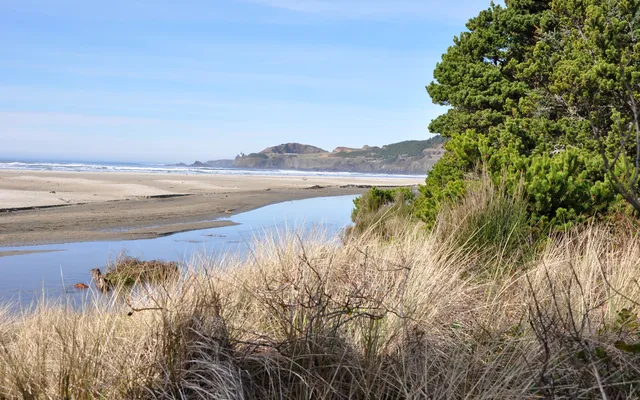 |
Agate Beach State Recreation Site, north of Newport, Oregon images/places/agate-beach-newport-oregon.webp · images/places/agate-beach-newport-oregon-card.webp |
Finetooth CC BY-SA 3.0 |
Oregon beach agate rules, Oregon rockhounding: who owns the ground |
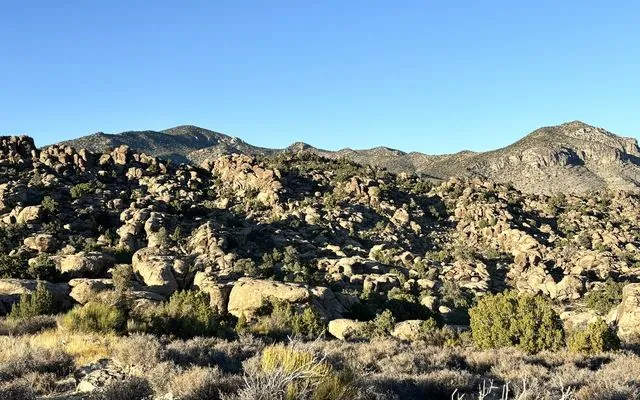 |
Basin and Range National Monument, a BLM monument in Lincoln and Nye counties images/places/basin-and-range-nm-nevada.webp · images/places/basin-and-range-nm-nevada-card.webp |
Samantha Szesciorka, BLM Nevada Public domain |
Nevada rockhounding: who owns the ground, Nevada parks and monuments: can you collect? |
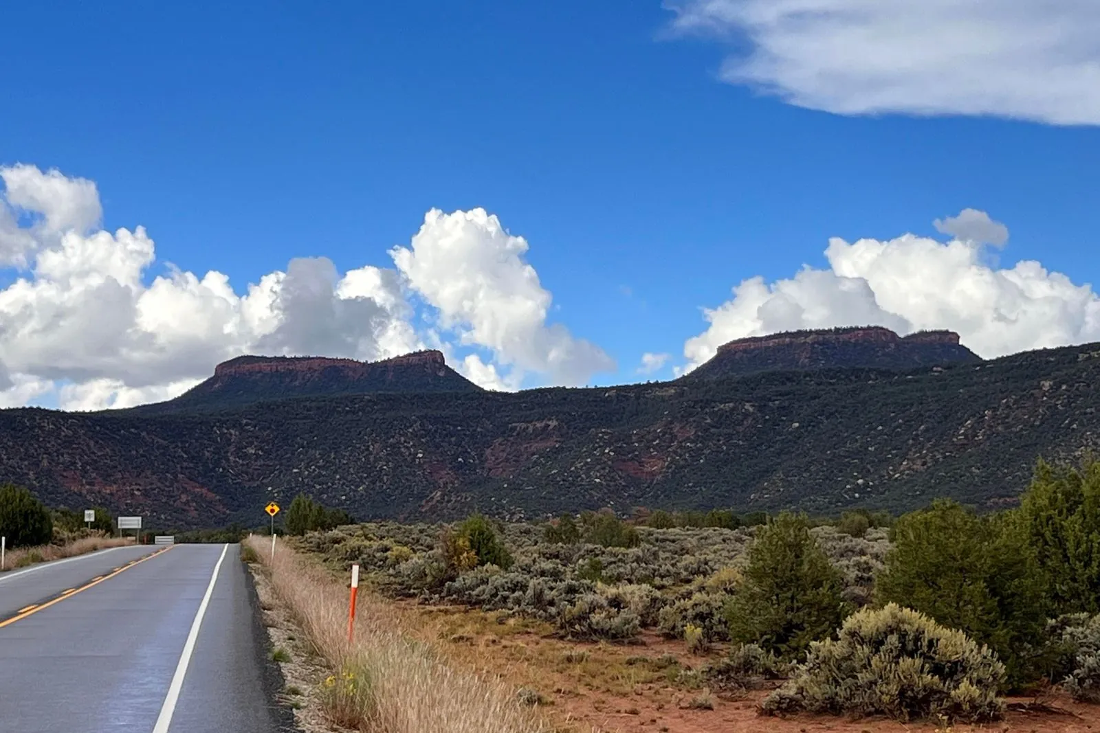 |
The twin Bears Ears buttes from Utah 261 images/places/bears-ears-buttes.webp |
Bigbear213 CC BY-SA 4.0 |
2026 Grand Staircase-Escalante and Bears Ears Monument Changes: Can You Collect Rocks There Now?, Utah monuments are not “open BLM” |
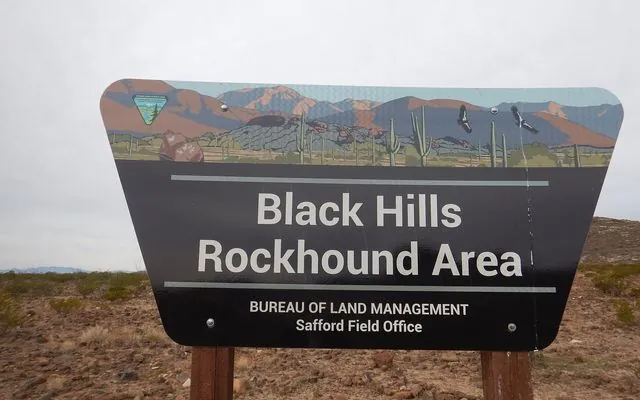 |
The Black Hills Rockhound Area sign, BLM Safford Field Office, Arizona images/places/black-hills-rockhound-area-arizona.webp · images/places/black-hills-rockhound-area-arizona-card.webp |
BLM Arizona Public domain |
Arizona rockhounding: who owns the ground, Arizona BLM collecting rules |
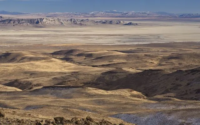 |
The Black Rock Desert playa in northwest Nevada, BLM Winnemucca District images/places/black-rock-desert-playa-nevada.webp · images/places/black-rock-desert-playa-nevada-card.webp |
BLM Nevada Public domain |
Home, Nevada rockhounding: who owns the ground |
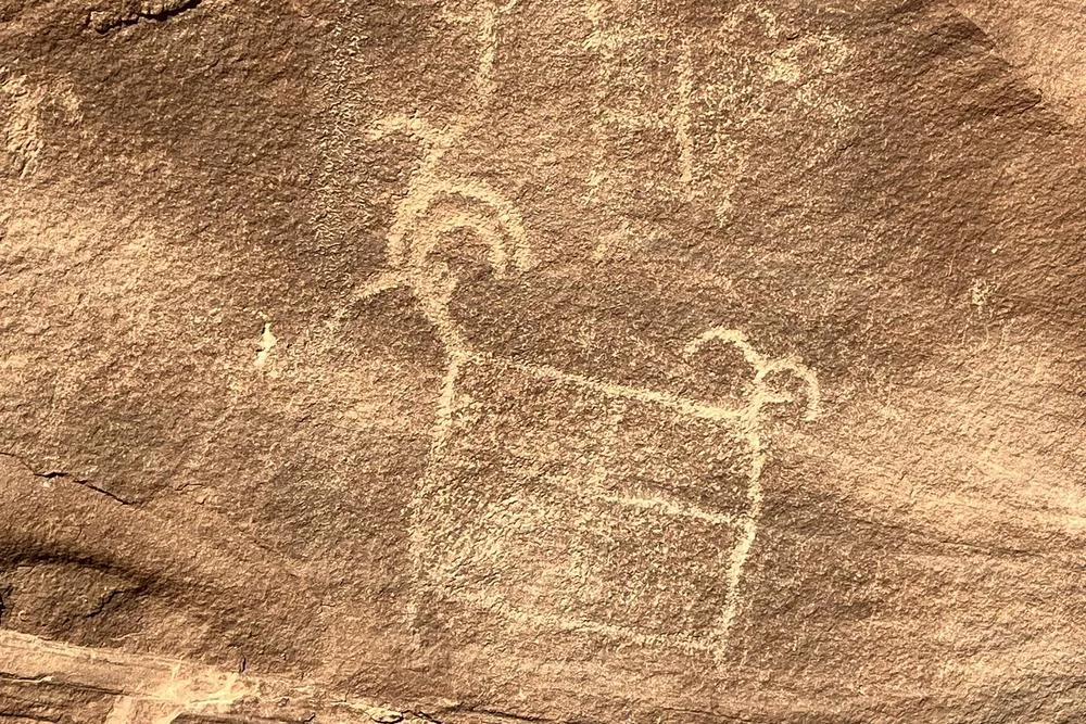 |
A petroglyph in Buckhorn Wash on BLM land images/places/buckhorn-wash-petroglyph.webp |
Cindy Gallo, BLM Utah Public domain |
Artifacts are not specimens |
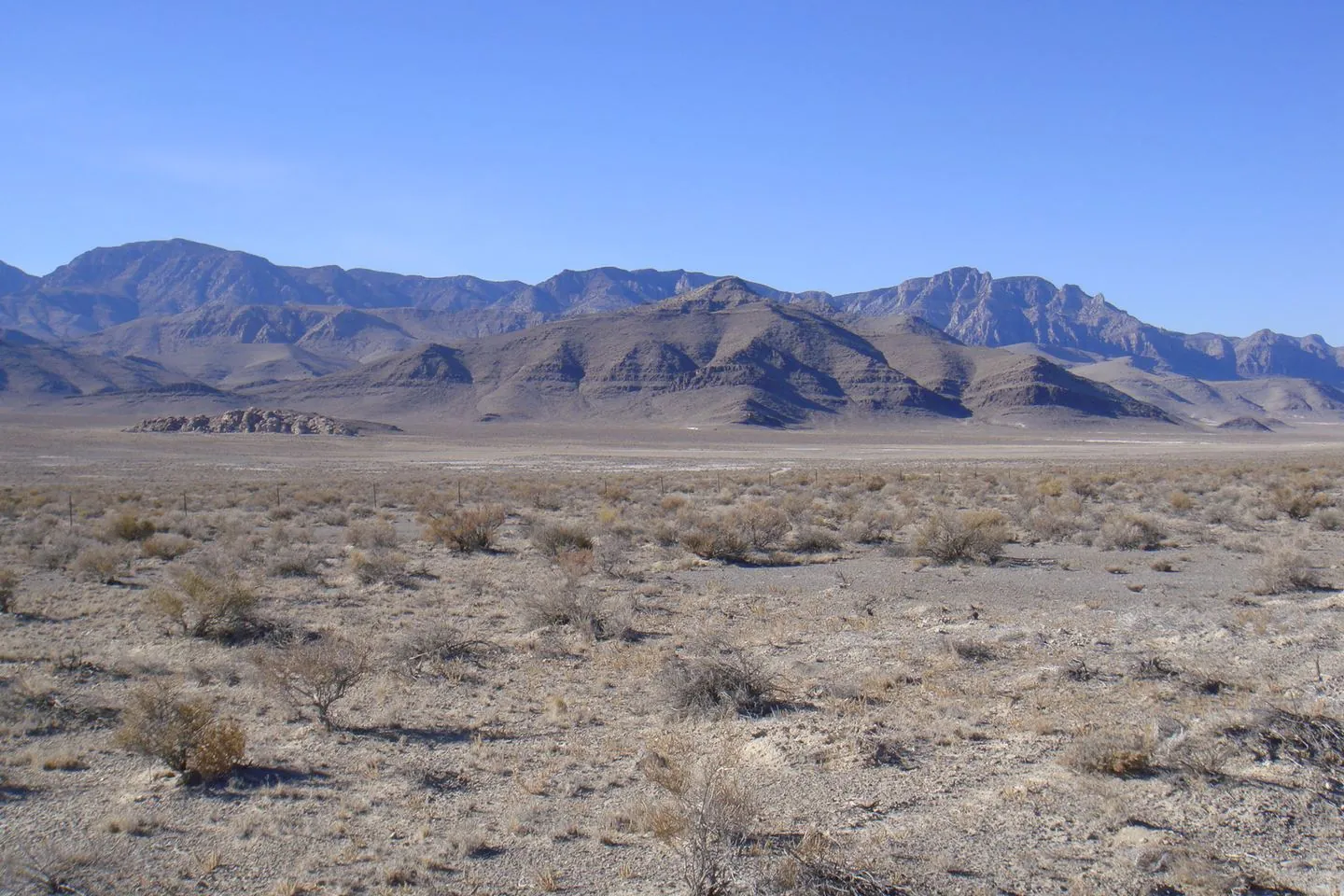 |
The Confusion Range from Skull Rock Pass, looking west toward Kings Canyon images/places/confusion-range-skull-rock-pass.webp |
Qfl247 CC BY-SA 3.0 |
Conger Trail sunstone land status |
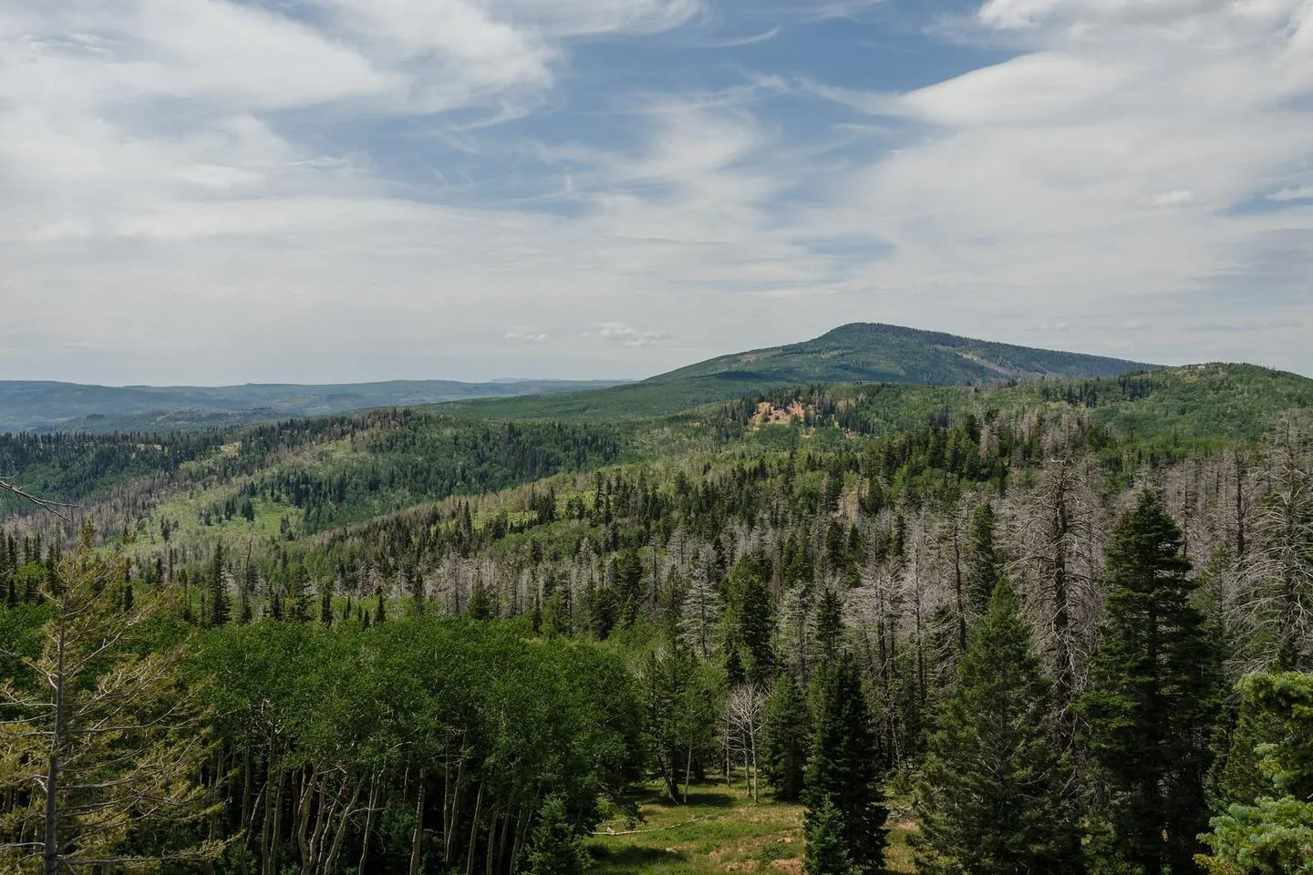 |
Dixie National Forest off UT-14 east of Cedar Breaks images/places/dixie-national-forest-ut14.webp |
DXR CC BY-SA 4.0 |
Dixie National Forest vs BLM |
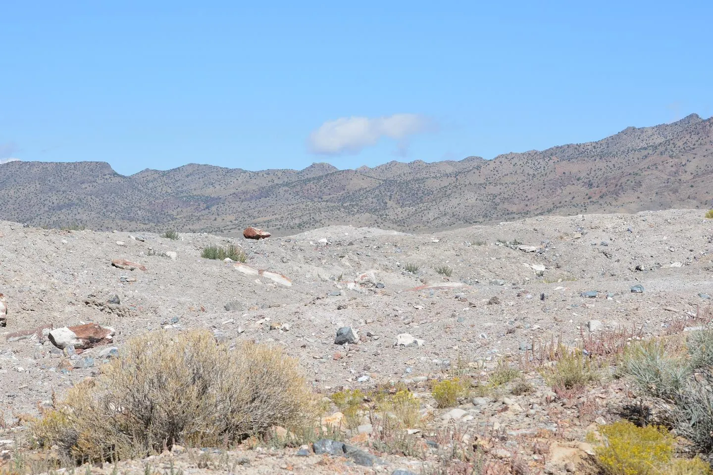 |
The Dugway Geode Beds, a BLM-designated rockhounding area in Juab County images/places/dugway-geode-beds-landscape.webp |
Jeremy T. Dyer, BLM Utah Public domain |
Dugway geode beds land status |
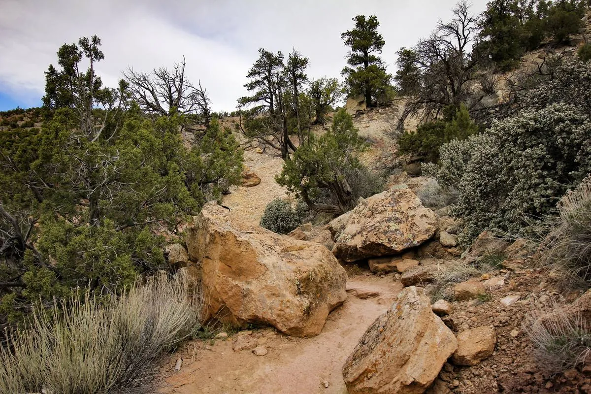 |
The trail up into Escalante Petrified Forest State Park images/places/escalante-petrified-forest-trail.webp |
Mramoeba CC BY-SA 4.0 |
Escalante Petrified Forest State Park: look, don’t take |
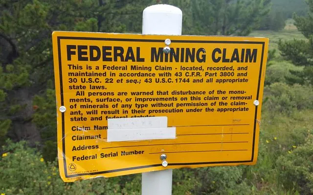 |
A federal mining claim sign near Boreas Pass, Colorado images/places/federal-mining-claim-sign.webp · images/places/federal-mining-claim-sign-card.webp |
D&RG Railfan CC BY 3.0 |
How to check a mining claim on MLRS, Nevada rockhounding: who owns the ground, Arizona rockhounding: who owns the ground |
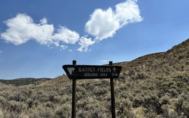 |
The BLM sign on the road in to Garnet Hill images/places/garnet-hill-road-ely-card.webp |
Samantha Szesciorka, BLM Nevada Public domain |
Nevada rockhounding: who owns the ground |
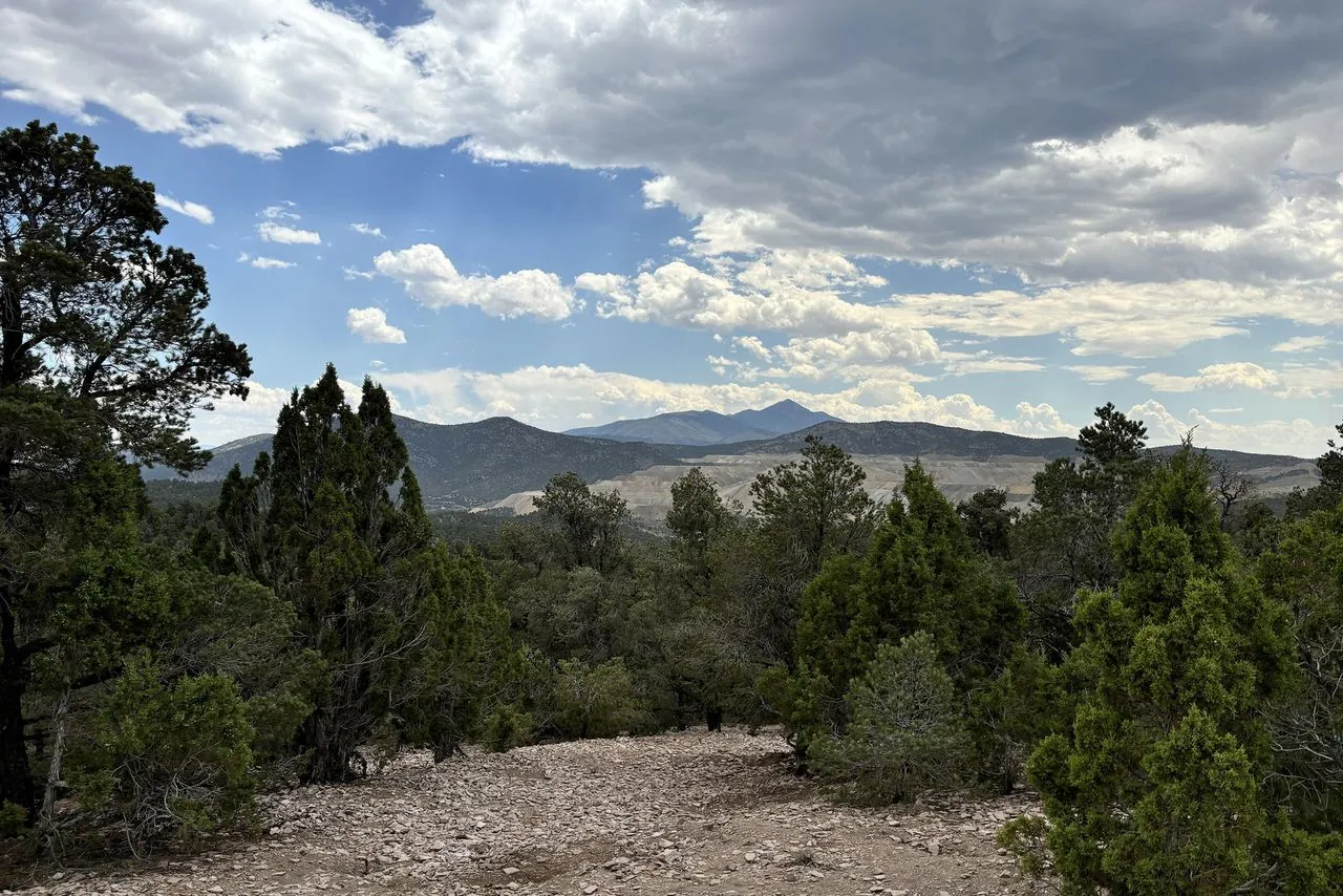 |
The view from Garnet Hill, BLM's designated rockhound area west of Ely images/places/garnet-hill-view-ely.webp |
Samantha Szesciorka, BLM Nevada Public domain |
Garnet Hill near Ely: land status |
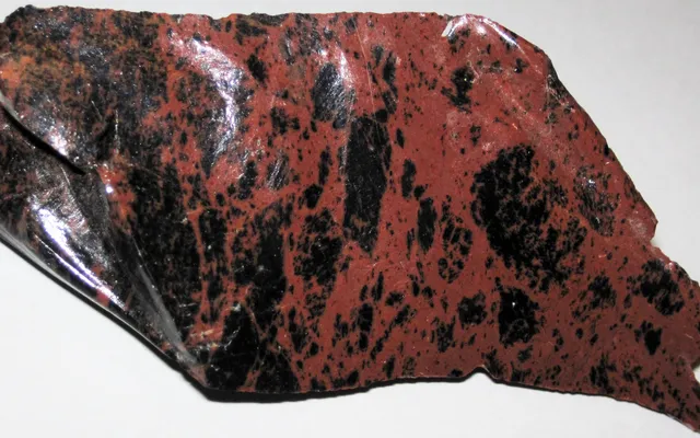 |
Mahogany obsidian from Glass Buttes, Oregon (about 8 cm across) images/places/glass-buttes-mahogany-obsidian-oregon.webp · images/places/glass-buttes-mahogany-obsidian-oregon-card.webp |
James St. John CC BY 2.0 |
Oregon BLM rockhounding rules, Oregon rockhounding: who owns the ground |
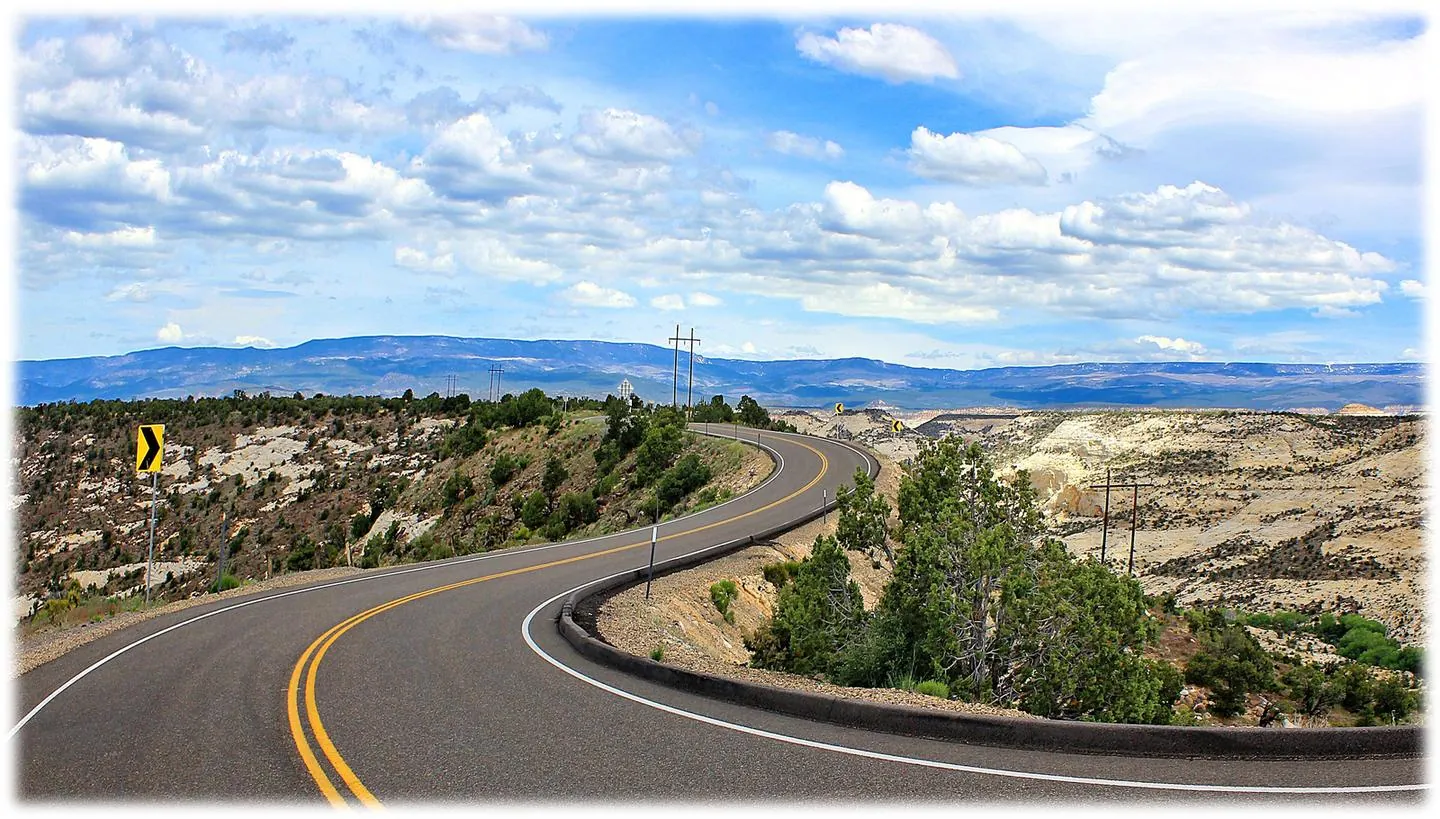 |
Grand Staircase-Escalante from Utah Highway 12 images/places/gsenm-highway-12-view.webp |
Grenzlandstern CC BY-SA 4.0 |
2026 Grand Staircase-Escalante and Bears Ears Monument Changes: Can You Collect Rocks There Now? |
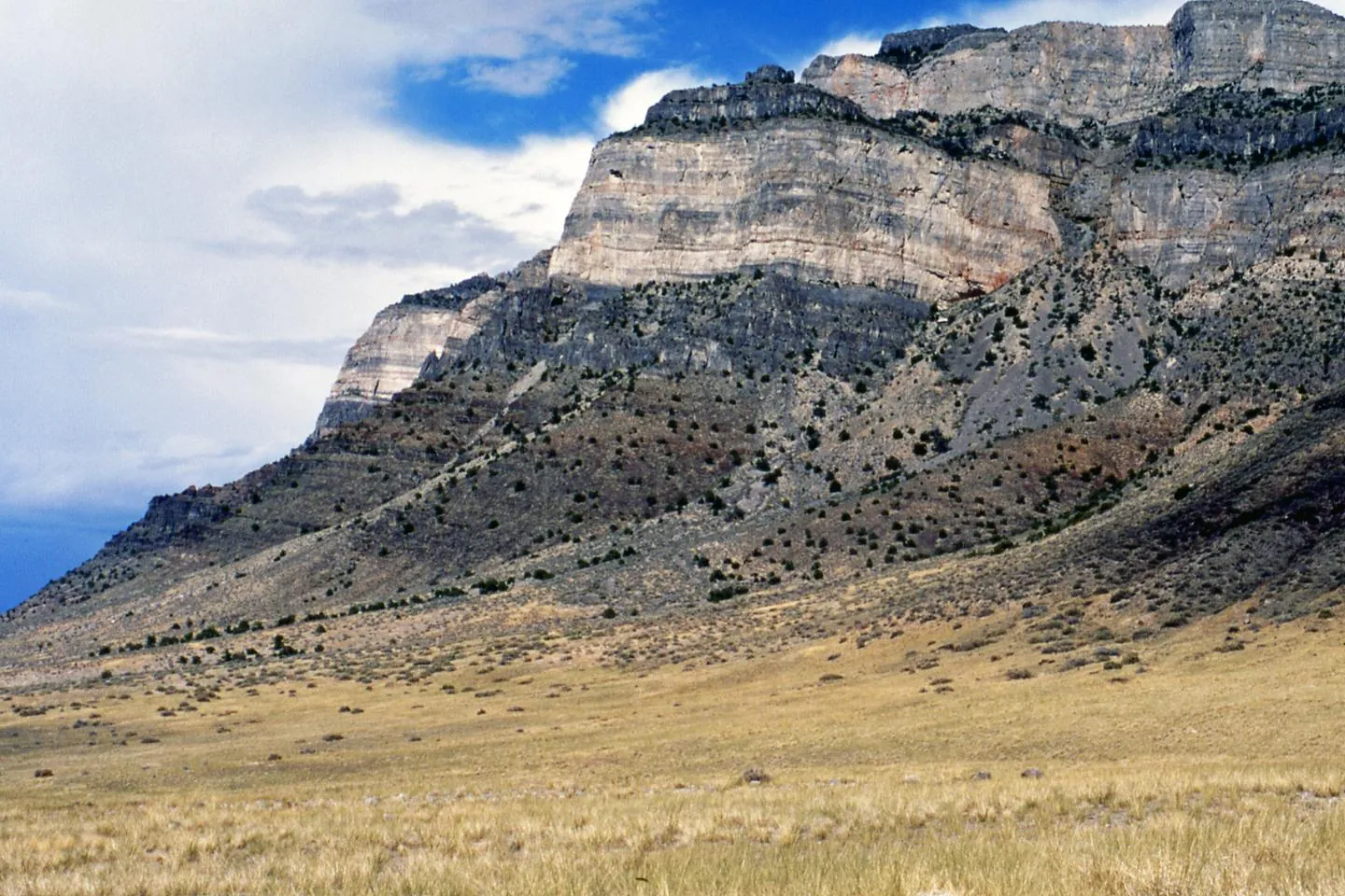 |
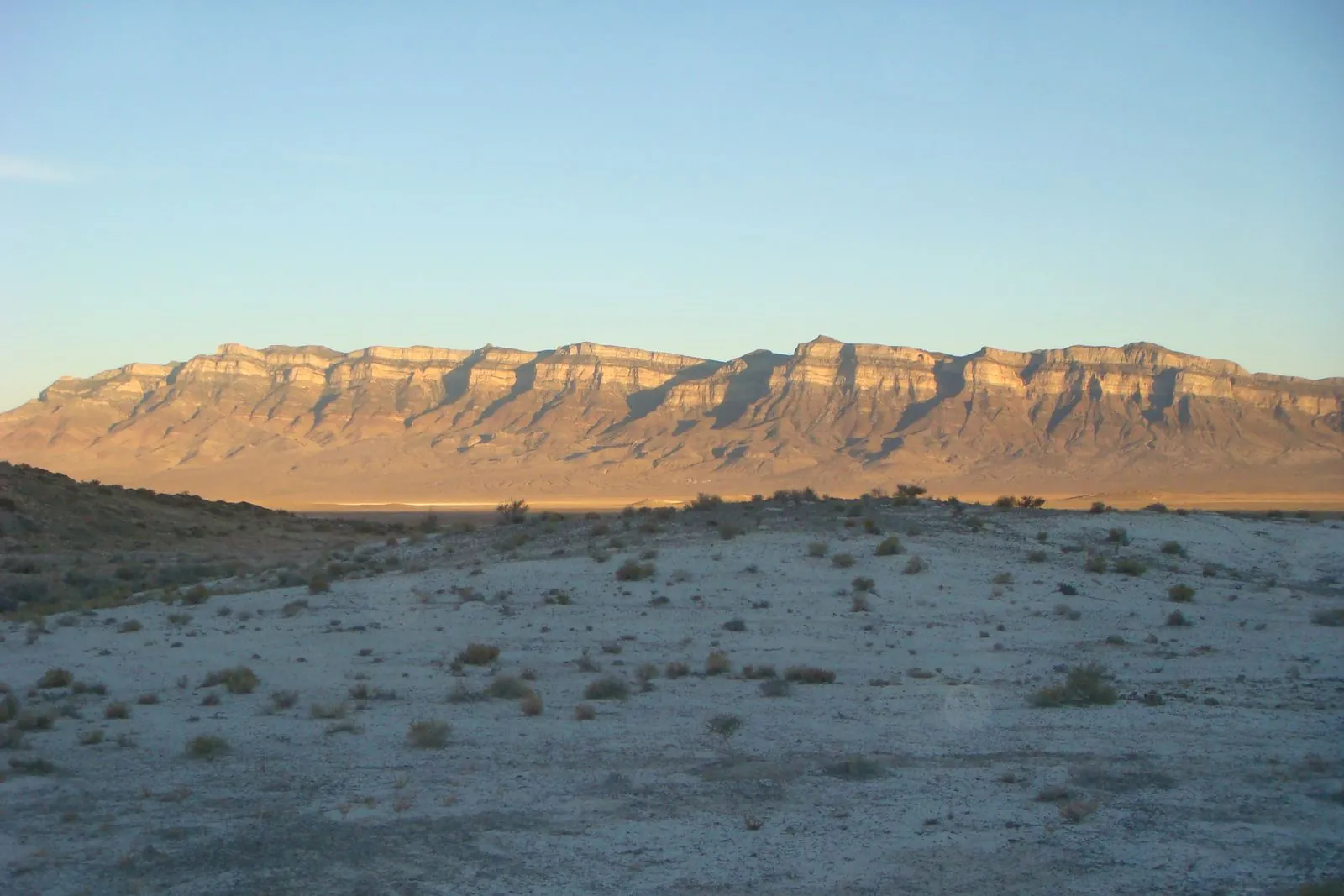
Cambrian rock on the west side of the House Range near Marjum Pass images/places/house-range-cambrian-cliffs.webp |
James St. John CC BY 2.0 |
Fossils on Utah BLM |
 |
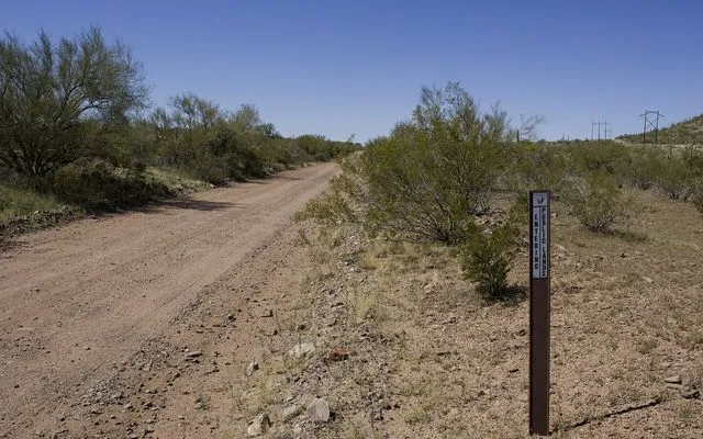
The northern House Range at sunset, over Tule Valley images/places/house-range-tule-valley-sunset.webp |
Qfl247 CC BY-SA 3.0 |
House Range trilobites |
 |
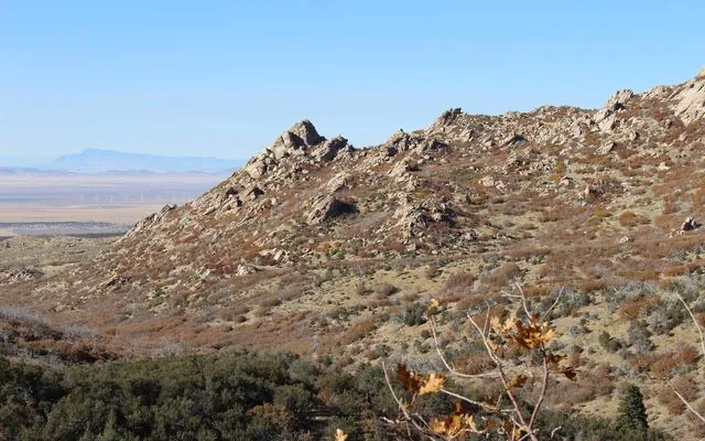
An “Entering Public Lands” marker on a dirt road in Ironwood Forest National Monument, Arizona images/places/ironwood-forest-public-lands-sign-arizona.webp · images/places/ironwood-forest-public-lands-sign-arizona-card.webp |
BLM Arizona Public domain |
Arizona rockhounding: who owns the ground, Arizona State Trust Land: why you can’t collect there |
 |
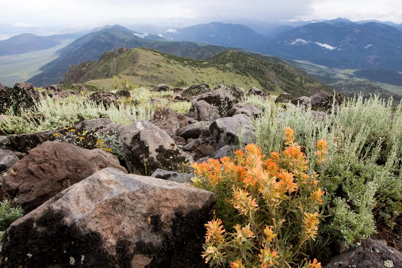
The Mineral Mountains near Milford, Beaver County images/places/mineral-mountains-milford.webp · images/places/mineral-mountains-milford-card.webp |
Bill Golladay CC BY-SA 4.0 |
Modena and Wild Horse obsidian, Utah rockhounding: who owns the ground |
 |
Slinkard Wilderness Study Area on Nevada BLM images/places/nevada-slinkard-wsa-blm.webp |
Bob Wick, BLM Public domain |
Nevada BLM collecting rules |
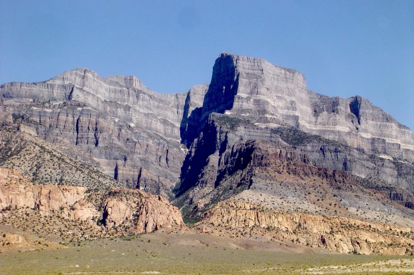 |
Notch Peak in the House Range, west of Delta: about 2,200 feet of sheer limestone, set in BLM country images/places/notch-peak-house-range.webp |
Matt Affolter (Qfl247) CC BY-SA 3.0 |
Home |
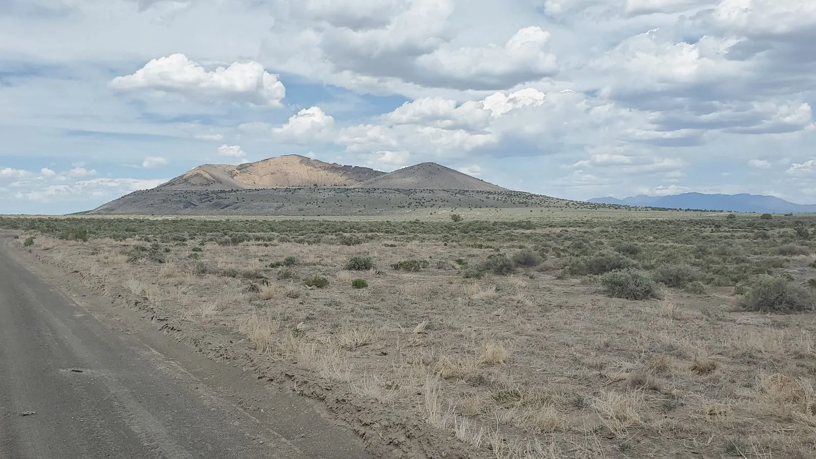 |
Pahvant Butte, a tuff cone in the Black Rock Desert volcanic field between Delta and Fillmore images/places/pahvant-butte-black-rock-desert.webp |
Jstuby CC0 |
Black Rock Desert obsidian |
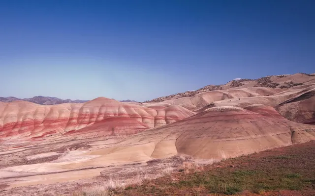 |
The Painted Hills unit of John Day Fossil Beds National Monument images/places/painted-hills-john-day-oregon.webp · images/places/painted-hills-john-day-oregon-card.webp |
Quirkipedia CC0 |
Oregon parks, monuments and refuges: can you collect?, Oregon rockhounding: who owns the ground |
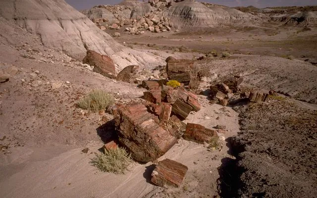 |
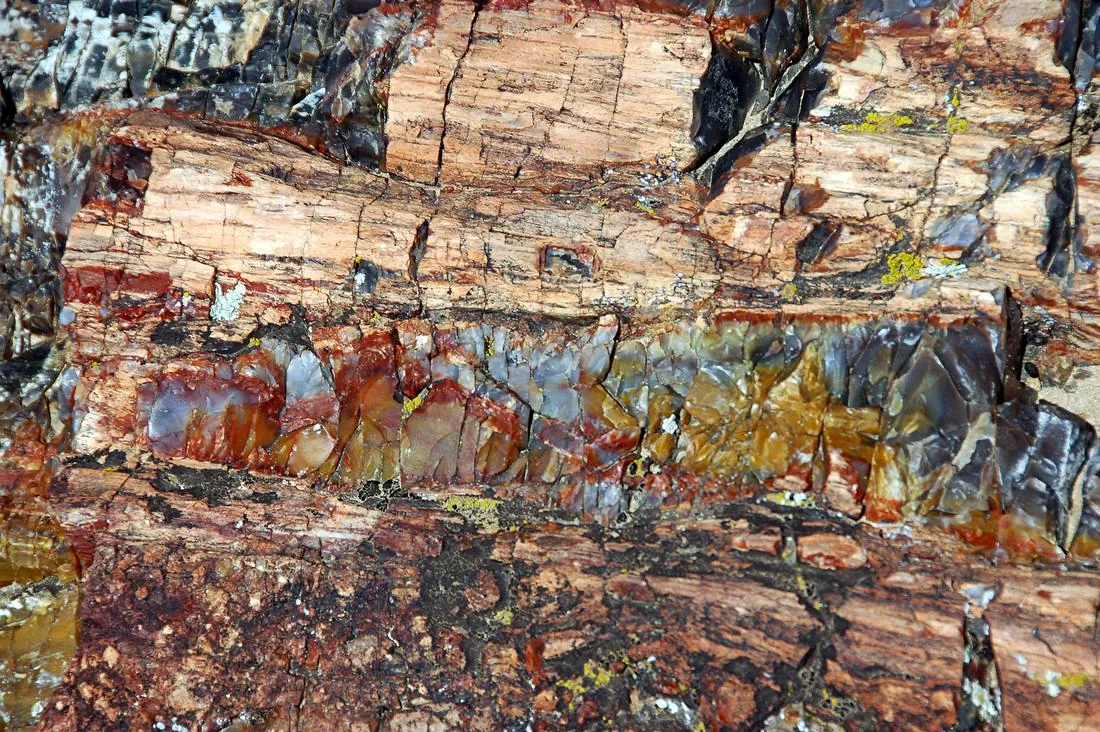
Petrified logs on the badlands of Petrified Forest National Park, Arizona images/places/petrified-forest-logs-arizona.webp · images/places/petrified-forest-logs-arizona-card.webp |
National Park Service Digital Image Archives Public domain |
Arizona rockhounding: who owns the ground, Petrified Forest and petrified wood: what’s legal |
 |
Fossil log in the Morrison Formation at Escalante Petrified Forest State Park images/places/petrified-log-morrison-escalante.webp |
James St. John CC BY 2.0 |
Utah BLM petrified wood rules |
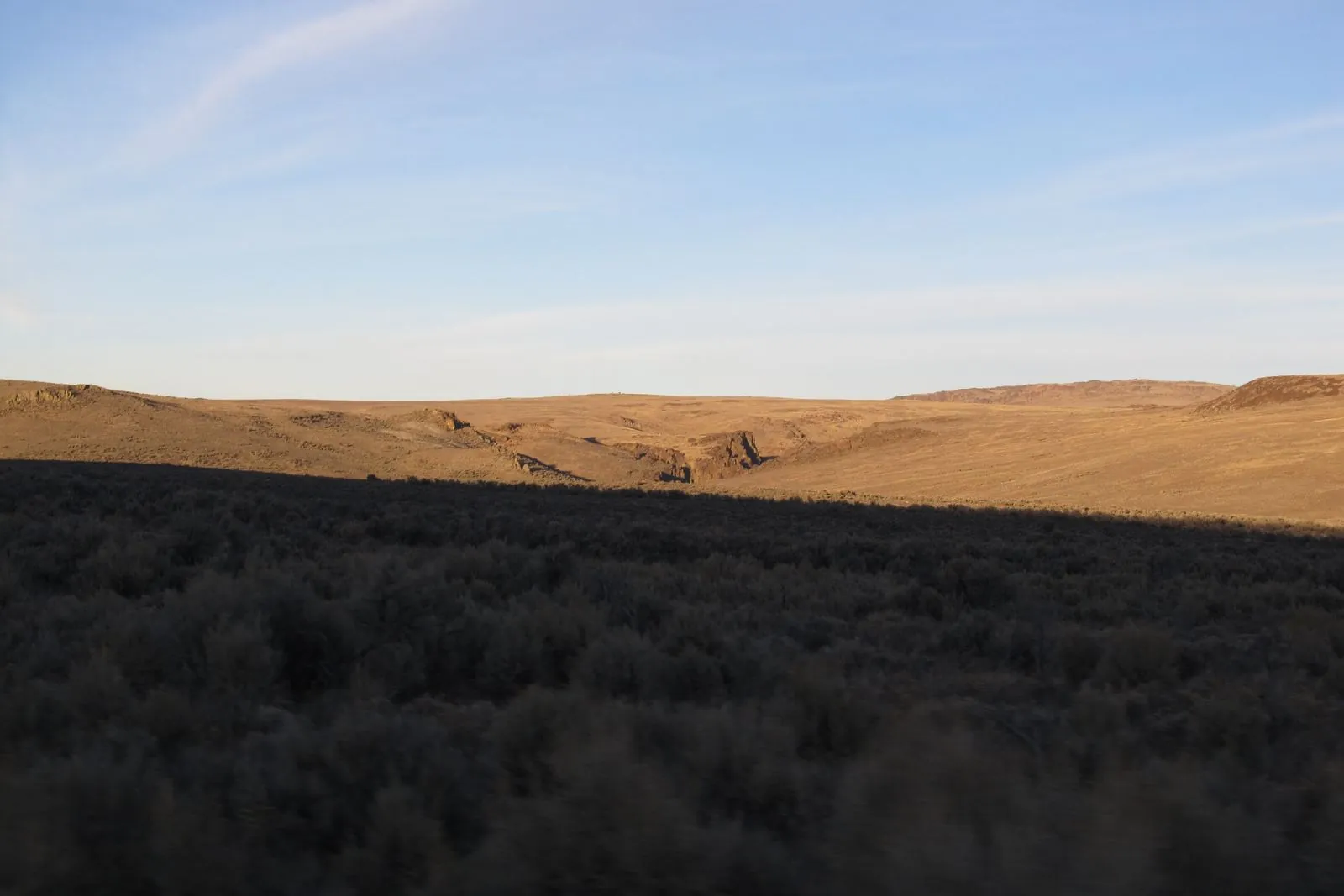 |
Sheldon National Wildlife Refuge, which surrounds Virgin Valley images/places/sheldon-refuge-virgin-valley.webp |
Ken Lund CC BY-SA 2.0 |
Virgin Valley opal: land status |
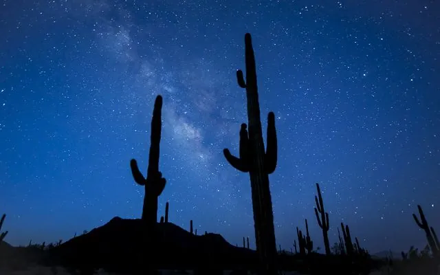 |
Saguaros under the night sky in Sonoran Desert National Monument, a BLM monument in Arizona images/places/sonoran-desert-nm-saguaros-arizona.webp · images/places/sonoran-desert-nm-saguaros-arizona-card.webp |
BLM Arizona Public domain |
Arizona rockhounding: who owns the ground, Arizona parks, monuments and refuges: can you collect? |
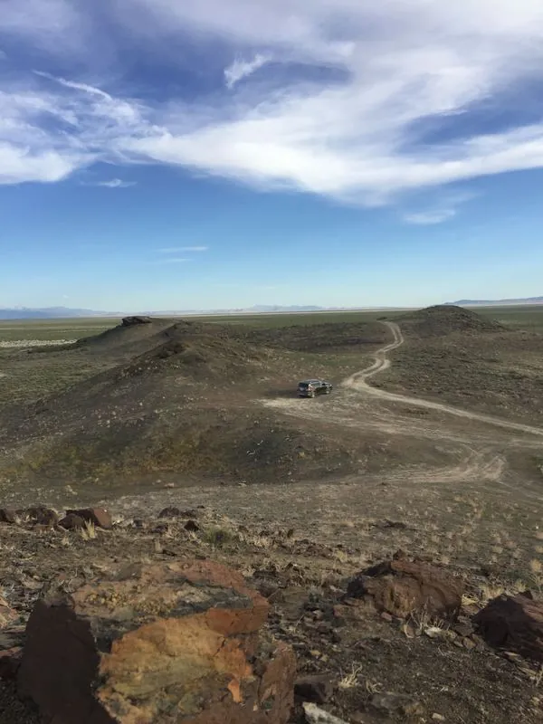 |
Sunstone Knoll, the basalt hill south of Delta that gives Utah sunstone its name images/places/sunstone-knoll-utah.webp |
Tiffany A. Rivera CC BY-SA 4.0 |
Conger Trail sunstone land status |
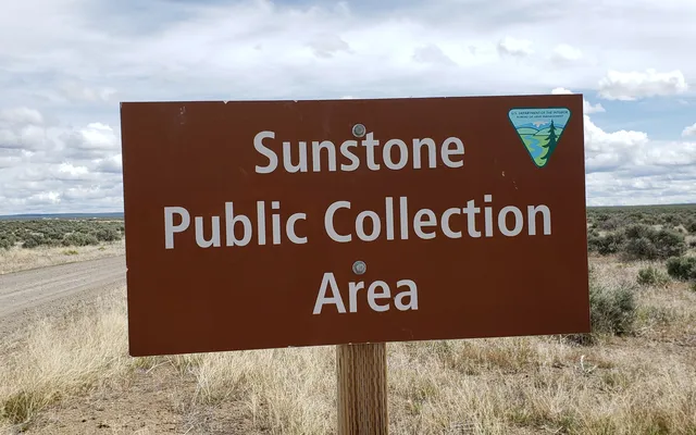 |
Entrance sign at the BLM Sunstone Public Collection Area, Lake County, Oregon (May 2019) images/places/sunstone-public-collection-area-oregon.webp · images/places/sunstone-public-collection-area-oregon-card.webp |
Lisa McNee, BLM Oregon & Washington CC BY 2.0 |
Oregon rockhounding: who owns the ground, Oregon sunstone: who owns the ground, Home |
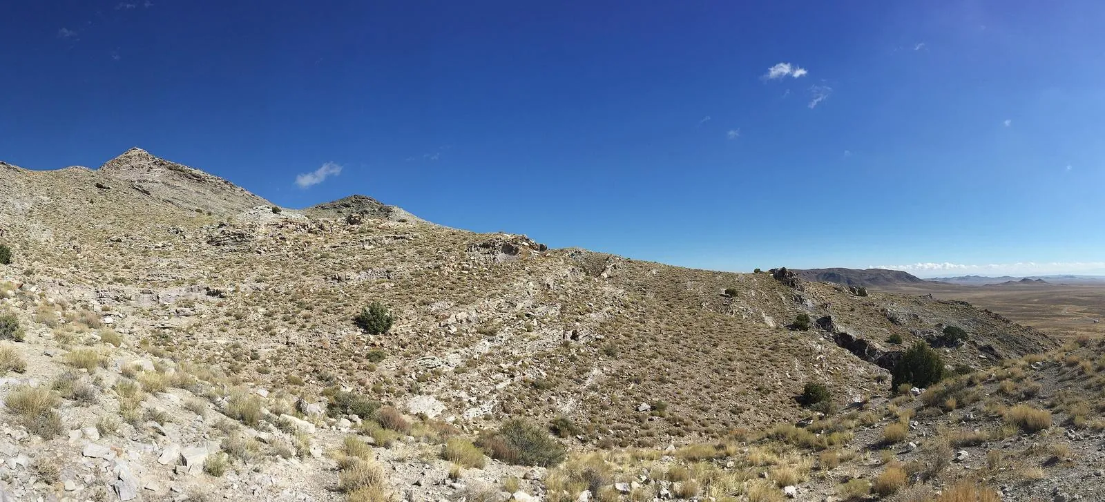 |
Topaz Mountain from the east, in the Thomas Range rhyolite images/places/topaz-mountain-east-panorama.webp |
Tiffany A. Rivera CC BY-SA 4.0 |
Thomas Range and Topaz Mountain |
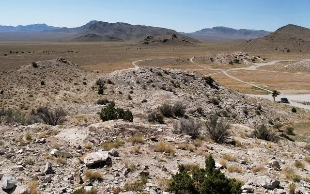 |
Ground at Topaz Mountain: rhyolite talus, two-tracks and the Thomas Range beyond images/places/topaz-mountain-ground-konstantin.webp · images/places/topaz-mountain-ground-konstantin-card.webp |
Phil Konstantin Public domain |
Topaz Mountain, Utah rockhounding: who owns the ground |
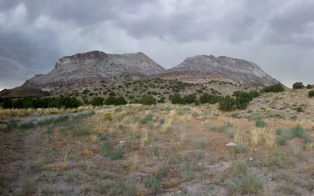 |
Topaz Mountain and the Thomas Range with a storm coming in behind images/places/topaz-mountain-storm-panorama-card.webp |
Tweeber69 CC BY-SA 3.0 |
Utah rockhounding: who owns the ground |
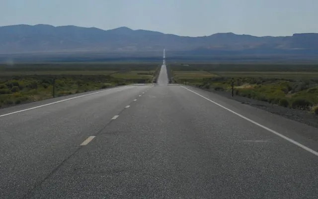 |
US 50, the “Loneliest Road,” across central Nevada basin-and-range country images/places/us50-nevada-loneliest-road.webp · images/places/us50-nevada-loneliest-road-card.webp |
Regulator78 Public domain |
Nevada rockhounding: who owns the ground, Why Nevada has no SITLA (and what state land is now) |
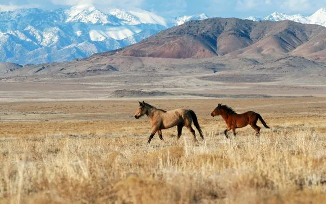 |
Wild horses on BLM ground in Utah's West Desert images/places/utah-west-desert-blm.webp · images/places/utah-west-desert-blm-card.webp |
Lionel Powell, BLM Utah Public domain |
Home, Utah rockhounding: who owns the ground |
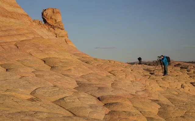 |
Sandstone in Vermilion Cliffs National Monument, a BLM monument on the Arizona Strip images/places/vermilion-cliffs-nm-arizona.webp · images/places/vermilion-cliffs-nm-arizona-card.webp |
BLM Arizona Public domain |
Home, Arizona rockhounding: who owns the ground |
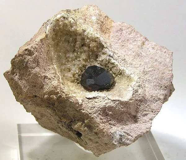 |
Almandine garnet from Garnet Hill, Ely, in a rhyolite pocket images/specimens/almandine-garnet-hill-ely.webp |
Rob Lavinsky, iRocks.com CC BY-SA 3.0 |
Garnet Hill near Ely: land status |
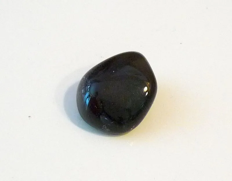 |
An Apache tear, a rounded obsidian nodule images/specimens/apache-tear-obsidian.webp |
Snorchard CC0 |
Black Rock Desert obsidian |
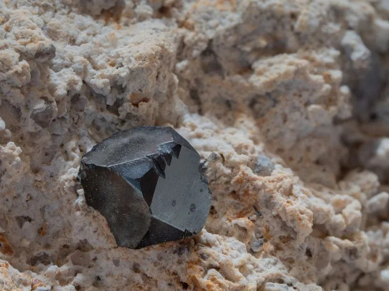 |
Bixbyite crystal on pale rhyolite, Thomas Range images/specimens/bixbyite-thomas-range.webp |
Zbynek Burival CC BY-SA 4.0 |
Thomas Range and Topaz Mountain |
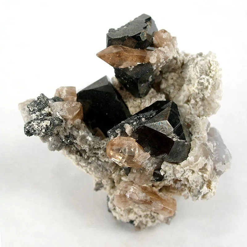 |
Black bixbyite cubes with topaz on rhyolite, Topaz Mountain, Thomas Range images/specimens/bixbyite-topaz-thomas-range.webp |
Rob Lavinsky, iRocks.com CC BY-SA 3.0 |
Topaz Mountain |
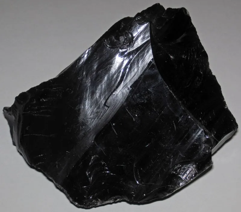 |
Black obsidian from Lake County, Oregon, probably Glass Buttes images/specimens/black-obsidian-lake-county-oregon.webp |
James St. John CC BY 2.0 |
Modena and Wild Horse obsidian |
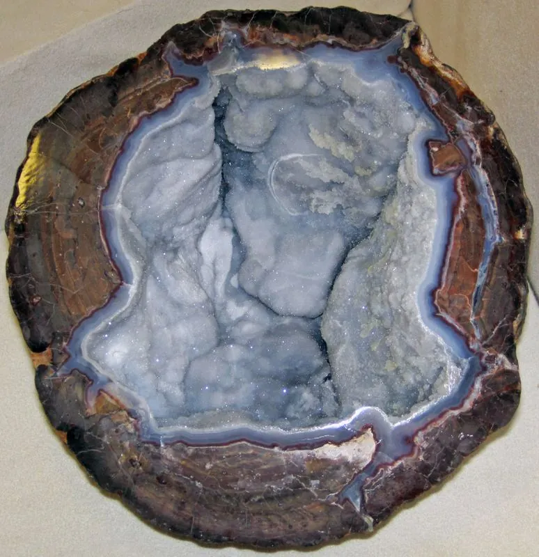 |
Another cut Dugway geode images/specimens/dugway-geode-interior-1.webp |
James St. John CC BY 2.0 |
Dugway geode beds land status |
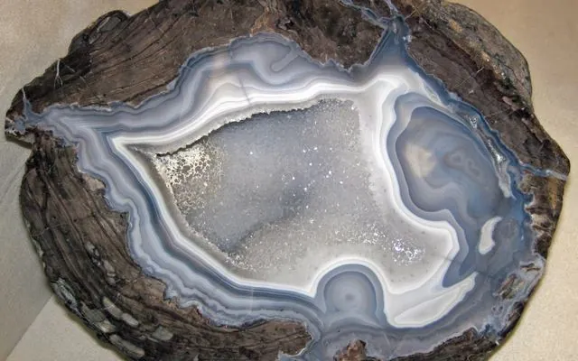 |
Cut Dugway geode with banded agate rind and a crystal-lined center images/specimens/dugway-geode-interior-2.webp · images/specimens/dugway-geode-interior-2-card.webp |
James St. John CC BY 2.0 |
Dugway geode beds land status, Utah rockhounding: who owns the ground |
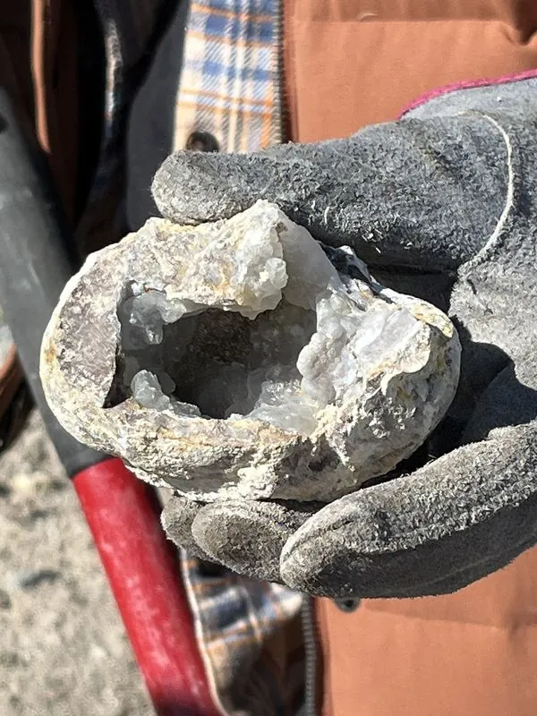 |
A geode just dug and cracked open at the Dugway beds images/specimens/dugway-geode-split-blm.webp |
Jeremy T. Dyer, BLM Utah Public domain |
Dugway geode beds land status |
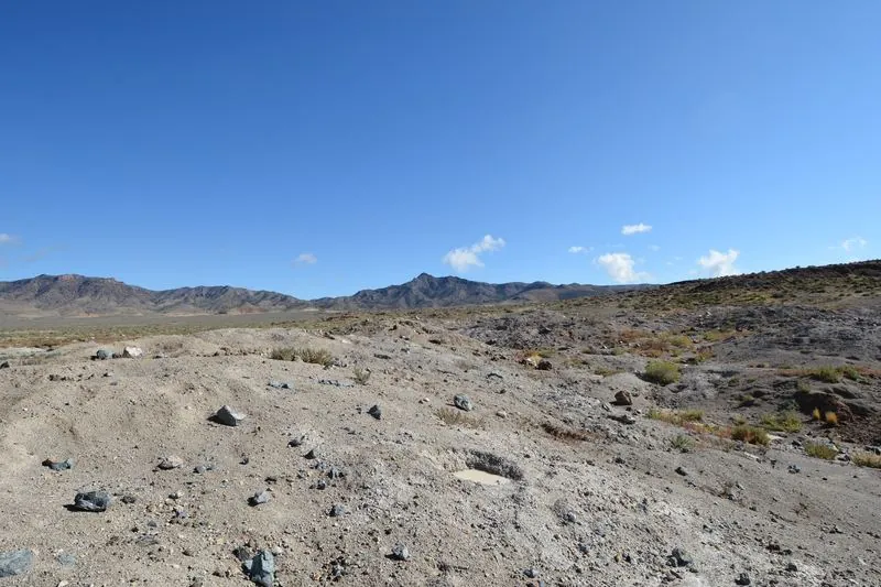 |
Geodes lying on the surface at the beds images/specimens/dugway-geodes-on-surface.webp |
Jeremy T. Dyer, BLM Utah Public domain |
Dugway geode beds land status |
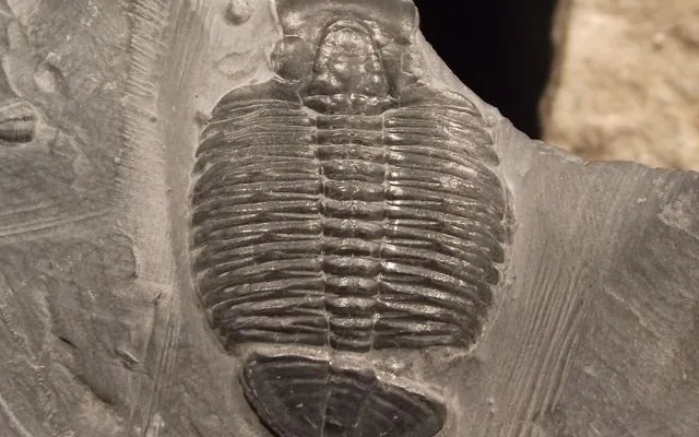 |
Elrathia kingii from the Wheeler Shale at Antelope Springs, House Range images/specimens/elrathia-kingii-antelope-springs.webp · images/specimens/elrathia-kingii-antelope-springs-card.webp |
Tortie tude CC0 |
House Range trilobites, Utah rockhounding: who owns the ground |
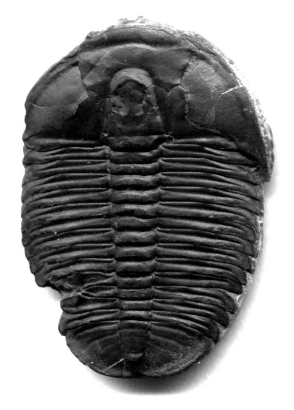 |
Elrathia kingii (3 cm) with a healed bite mark, Wheeler Formation, House Range images/specimens/elrathia-kingii-healed-bite.webp |
James St. John CC BY 2.0 |
House Range trilobites |
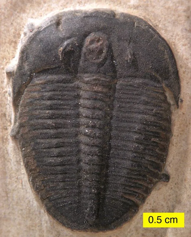 |
Elrathia kingii in Wheeler Shale, with a 5 mm scale bar images/specimens/elrathia-kingii-wheeler-shale.webp |
Wilson44691 Public domain |
House Range trilobites, Fossils on Utah BLM |
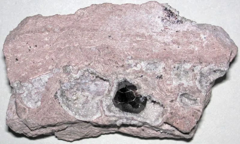 |
Dark garnet in Garnet Hill rhyolite, about 5 cm across images/specimens/garnet-in-rhyolite-garnet-hill.webp |
James St. John CC BY 2.0 |
Garnet Hill near Ely: land status |
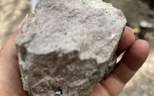 |
A garnet still in its rhyolite at Garnet Hill images/specimens/garnet-in-rock-garnet-hill-blm.webp · images/specimens/garnet-in-rock-garnet-hill-blm-card.webp |
Samantha Szesciorka, BLM Nevada Public domain |
Garnet Hill near Ely: land status, Nevada rockhounding: who owns the ground |
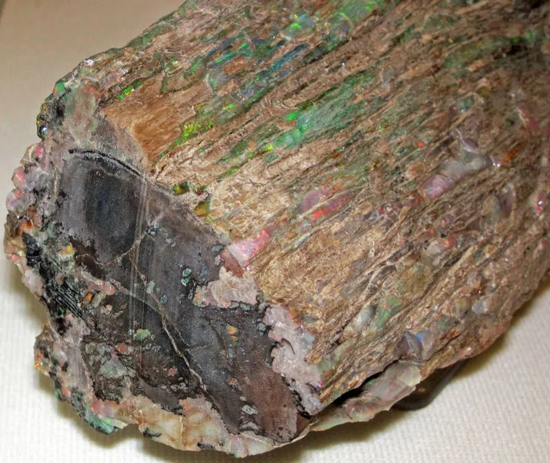 |
Fossil wood replaced by precious opal, Virgin Valley images/specimens/opal-replaced-wood-virgin-valley.webp |
James St. John CC BY 2.0 |
Virgin Valley opal: land status |
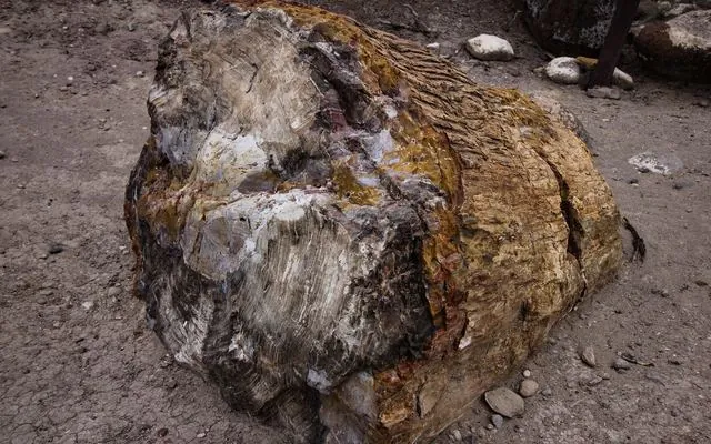 |
Colorful petrified wood in the park, probably Araucaria (a conifer) images/specimens/petrified-wood-escalante-araucaria.webp · images/specimens/petrified-wood-escalante-araucaria-card.webp |
Mramoeba CC BY-SA 4.0 |
Escalante Petrified Forest State Park: look, don’t take, Utah rockhounding: who owns the ground |
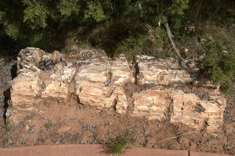 |
Log of petrified wood in the park, Morrison Formation images/specimens/petrified-wood-escalante-sp.webp |
Aneta Kaluzna Qbek CC BY-SA 3.0 |
Escalante Petrified Forest State Park: look, don’t take |
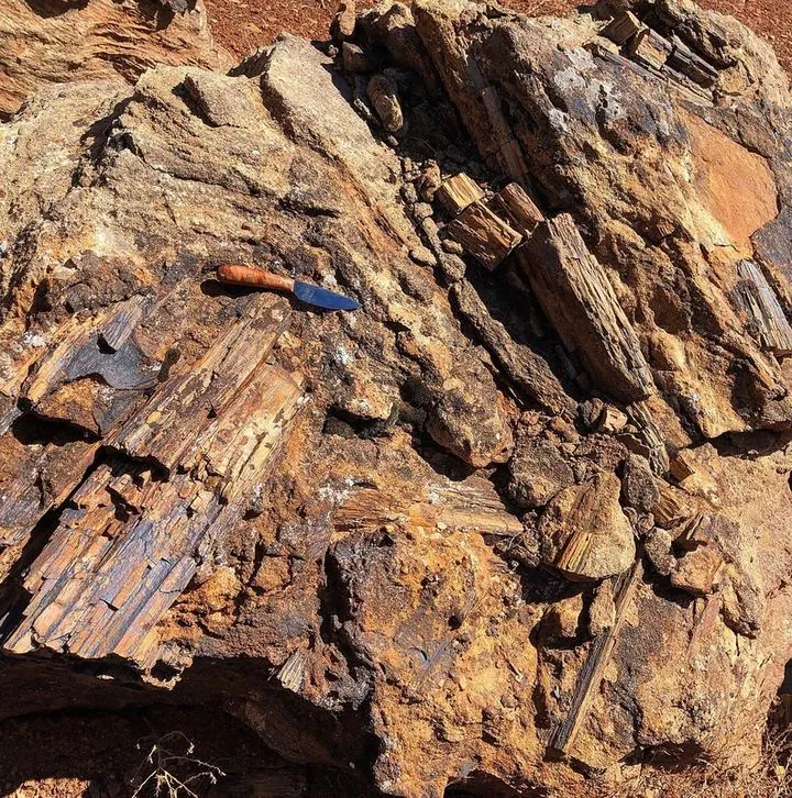 |
Petrified wood on BLM land in the Kanab–Escalante planning area images/specimens/petrified-wood-kanab-escalante-blm.webp |
Harry Barber, BLM Utah Public domain |
Utah BLM petrified wood rules |
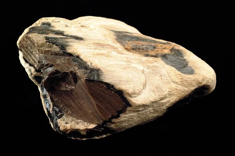 |
Silicified wood, cut and polished images/specimens/petrified-wood-polished.webp |
Shannon Heinle CC0 |
Utah BLM petrified wood rules |
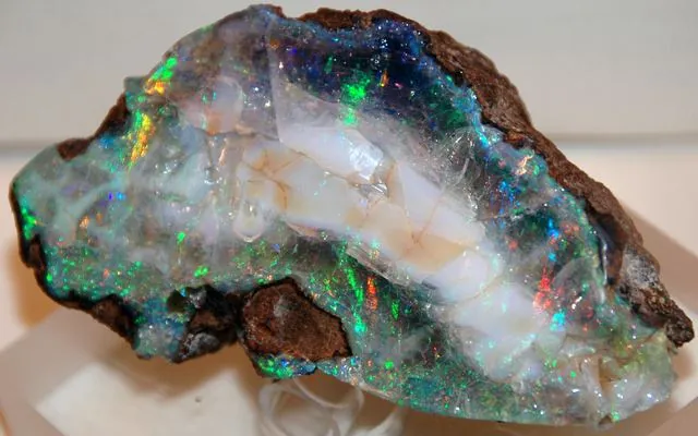 |
Precious opal from the Virgin Valley Formation images/specimens/precious-opal-virgin-valley.webp · images/specimens/precious-opal-virgin-valley-card.webp |
James St. John CC BY 2.0 |
Nevada rockhounding: who owns the ground, Virgin Valley opal: land status |
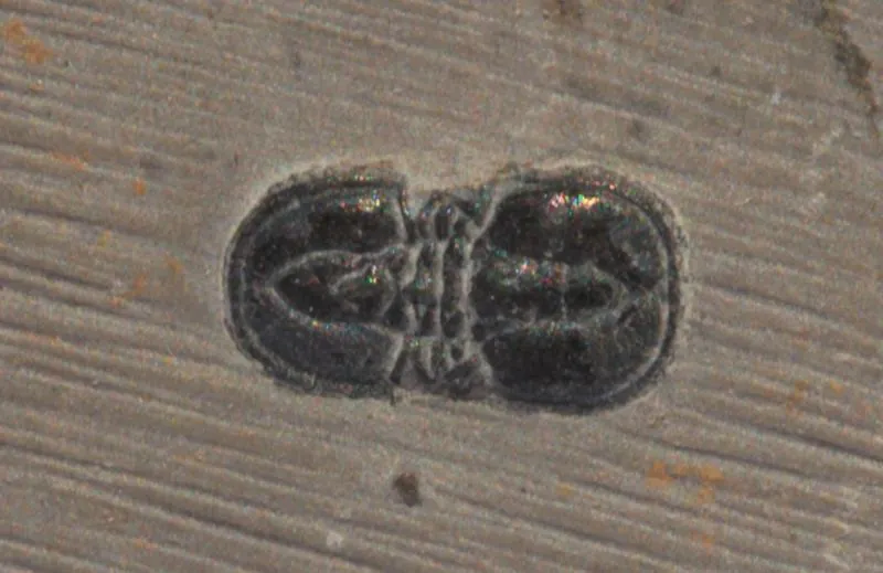 |
Ptychagnostus gibbus, a 5 mm agnostid trilobite from the Wheeler shale, House Range images/specimens/ptychagnostus-gibbus-house-range.webp |
Dwergenpaartje CC BY-SA 3.0 |
House Range trilobites, Fossils on Utah BLM |
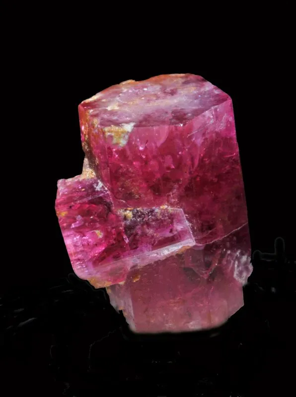 |
Red beryl from the Wah Wah Mountains, Beaver County images/specimens/red-beryl-wah-wah-mountains.webp |
Géry Parent CC0 |
Thomas Range and Topaz Mountain |
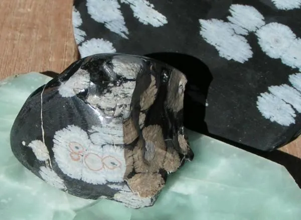 |
Snowflake obsidian from northeast of Milford, Beaver County, with pink-tinged spherulites images/specimens/snowflake-obsidian-milford-utah.webp |
DaveC1 CC BY-SA 4.0 |
Modena and Wild Horse obsidian |
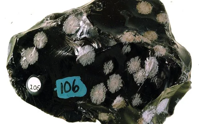 |
Snowflake obsidian from Millard County, the Black Rock Desert side of the state images/specimens/snowflake-obsidian-millard-county.webp · images/specimens/snowflake-obsidian-millard-county-card.webp |
Mike Davis CC0 |
Black Rock Desert obsidian, Utah rockhounding: who owns the ground |
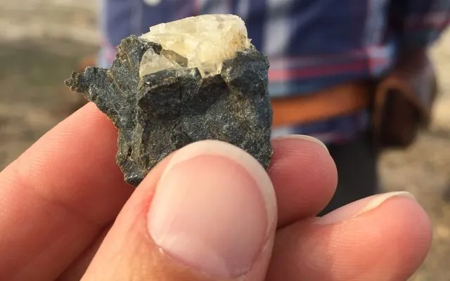 |
Utah sunstone: a large labradorite crystal from Sunstone Knoll near Delta images/specimens/sunstone-crystal-sunstone-knoll.webp · images/specimens/sunstone-crystal-sunstone-knoll-card.webp |
Tiffany A. Rivera CC BY-SA 4.0 |
Conger Trail sunstone land status, Utah rockhounding: who owns the ground |
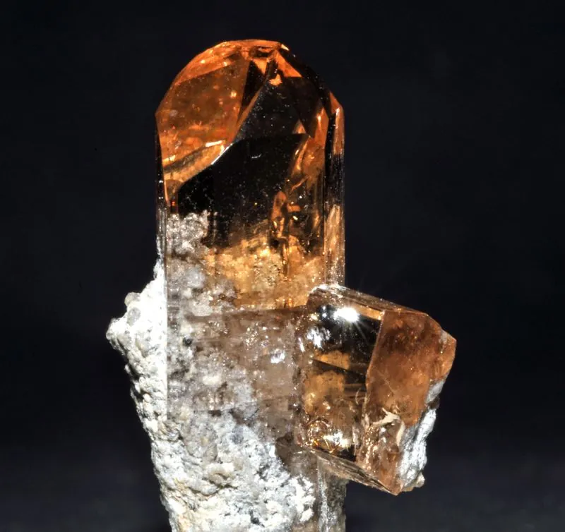 |
Cognac-colored topaz from Topaz Mountain, Thomas Range images/specimens/topaz-cognac-topaz-mountain.webp |
Géry Parent Public domain |
Thomas Range and Topaz Mountain, Topaz Mountain |
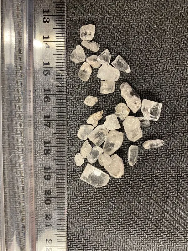 |
Topaz crystals from Topaz Mountain, with a centimeter ruler images/specimens/topaz-crystals-topaz-mountain.webp |
Tiffany A. Rivera CC BY-SA 4.0 |
Topaz Mountain |
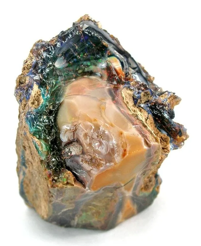 |
Wood opal from the Virgin Valley district, Humboldt County images/specimens/wood-opal-virgin-valley.webp |
Rob Lavinsky, iRocks.com CC BY-SA 3.0 |
Virgin Valley opal: land status |


Other images
images/zion-canyon.webp(Zion Canyon, used on the national parks page): public domain image from Wikimedia Commons, as credited on that page.
Spot an error in a credit or caption? Email [email protected] and we will fix it.
← Home · About · Disclosure