Monuments · 2026 update
2026 Grand Staircase-Escalante and Bears Ears Monument Changes: Can You Collect Rocks There Now?
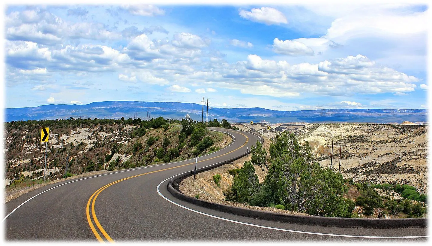
Short answer: inside the remaining monument boundaries, monument collecting restrictions still apply. On the lands removed from the monuments, there is no clear, published collecting rule yet. Call the BLM field office before you collect.
What changed in 2026
- July 13, 2026: presidential proclamations reduced Grand Staircase-Escalante National Monument to about 181,541 acres and Bears Ears National Monument to about 121,096 acres.
- Around September 11, 2026: the lands removed from the monuments were opened under the ordinary public-land laws.
- September 2026: lawsuits were filed challenging the reductions. Courts could change the picture, so check current status before each trip.
Removed lands: is it “normal BLM” now?
Maybe — but don’t assume it. Removed ground is still federal land, and much of it is managed by the BLM (Bears Ears also includes Forest Service land on the Manti-La Sal). Ordinary BLM ground normally allows casual collecting of reasonable amounts for personal use. But as of this update we have not found a clear, published collecting rule for the removed lands. Management plans, interim guidance, ACECs, wilderness study areas, and site closures can still apply, and mining claims may now be staked.
Until the agency publishes something clear, treat the removed lands as “ask first.”
Inside the remaining monuments
Inside the current monument boundaries, monument rules govern — not the ordinary casual-use rules. Expect collecting of rocks, petrified wood, and fossils to be restricted or prohibited. See Utah monuments are not open BLM. Artifacts are off-limits everywhere: Utah artifacts on public land.
Who to call first
- Grand Staircase-Escalante: BLM Kanab Field Office or the Escalante office / interagency visitor center.
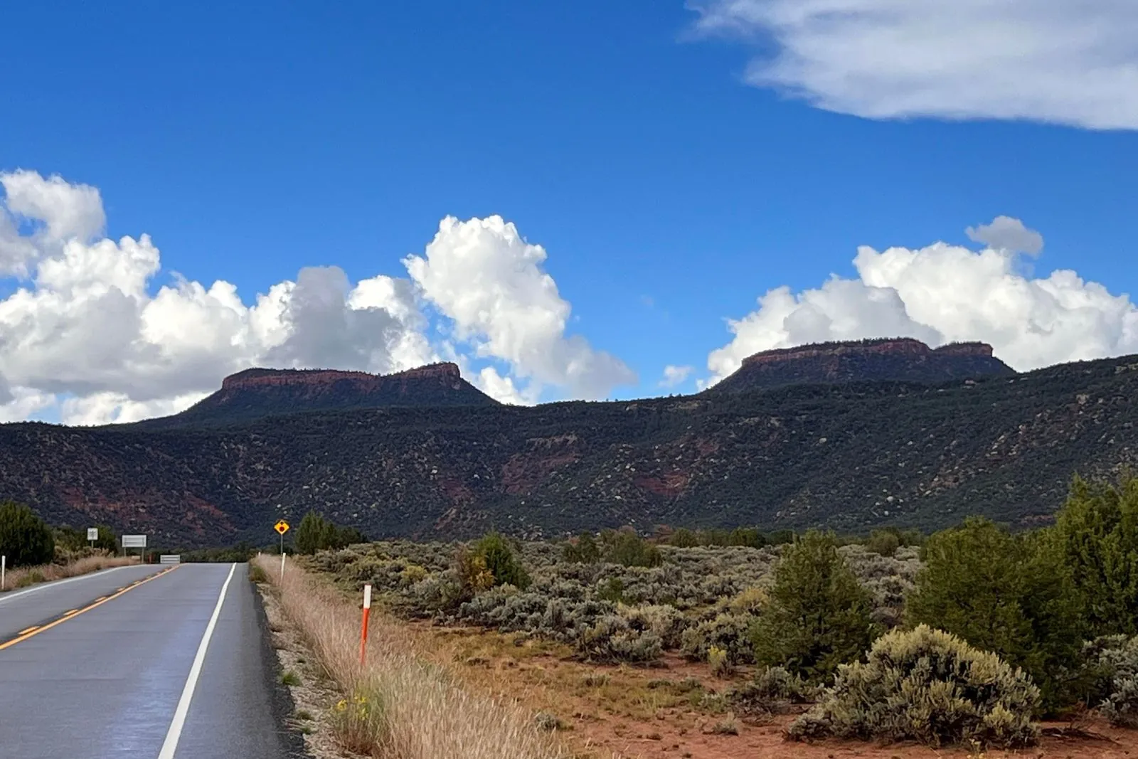
- Bears Ears: BLM Monticello Field Office (and the Manti-La Sal National Forest for Forest Service ground).
Ask: “Is this spot inside the current monument boundary? Is casual rock collecting allowed on the removed lands here? Any closures, ACECs, WSAs, or claims I should know about?” Write down who you talked to and the date. More offices: Utah BLM field offices.
Field checklist
- Use a current boundary map — 2026 maps, not an old book or a cached app layer. Which layers to use.
- Confirm the surface owner: BLM, SITLA, Forest Service, park, or private. SITLA is not BLM.
- Check for overlays: ACEC and wilderness.
- Check for mining claims on MLRS.
- Petrified wood and fossils have their own limits: petrified wood, fossils.
- No clear yes from the office? Don’t collect.
Disclaimer: Informational only — not legal advice. This page summarizes public information as of October 2026 and may be out of date; litigation and agency guidance may change what is allowed. The managing agency’s current rules control. Land Status Guide is independent and not affiliated with the BLM, Forest Service, or any agency.