Oregon · Sunstone
Oregon sunstone: who owns the ground
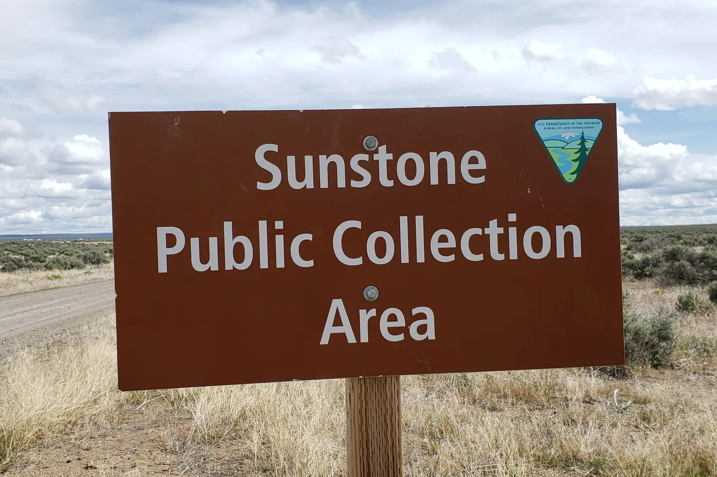
Oregon sunstone is feldspar crystals that formed in lava in Lake County. You can collect it for free on one BLM area. Much of the ground around it is under private mining claims, and some claims are inside it.
The public collection area
- Manager: BLM Lakeview District, 1301 South G Street, Lakeview, 541-947-6100.
- Fee: “There is no fee for collecting sunstones, but you may not collect sunstones for trade or commercial purposes.”
- Boundary: orange plastic posts reading “Oregon Sunstone Public Collection Area,” with large BLM triangles at the corners.
- Claims: “There are many private mining claims surrounding the public collection area and several within it. Collecting Sunstones from a private claim without permission is not allowed.” Stay inside the posts and away from claim markers. Check MLRS.
- How much: BLM Oregon/Washington's reasonable-day rule (personal use, fits a car trunk, under 250 lb). Hand tools only. Oregon BLM rules
- Facilities: a pit toilet, picnic tables and a shade structure. Camping is allowed anywhere in the area.
- Remote: “Due to the isolated location, rock hounds visiting the collection area should be well prepared.” Bring water, a spare tire and fuel.
BLM's directions
From Plush: County Road 3-10 (Hogback Road) north about 10 miles, right on County Road 3-11 for ½ mile, left on BLM Road 6155 for about 8¼ miles, left on BLM Road 6115 for about 5 miles, then right on BLM Road 6195 at the entrance sign. From Highway 395, take Hogback Road east 20.2 miles to County Road 3-11 and follow the same BLM roads. These are BLM's directions; we don't publish coordinates. Check road conditions with Lakeview before you go.
Private sunstone mines
If you pay to dig on a private claim, the fee, rules and season are the claim holder's, not BLM's, and that is a separate deal with the claim holder. Paid dig vs public land
Nearby rules that differ
- Hart Mountain National Antelope Refuge, near Plush: 7 lb of rock per person per day, surface only, no tools. Refuges
- Wilderness study areas in the Lakeview District: hand tools only, minimal disturbance.
- Artifacts: leave every flake and point (ORS 358.920; ARPA).
Sources: BLM, Sunstone Collection Area and its site map; BLM OR/WA Rock Collecting Guide (2024); BLM Lakeview District; 43 CFR 8365.1-5.
Informational only — not legal advice. Rules, boundaries and seasons change. Confirm with the managing agency for the exact parcel before you collect. Last verified October 26, 2026.